Tracking the Invisible Flood: How We Can Pinpoint Methane Emissions
Source PublicationAdvanced Science
Primary AuthorsCiais, Peng, Chang et al.
"Trying to track global methane with our current tools is like trying to find the source of a city-wide flood using only three water pressure gauges. You need sensors placed exactly where the pipes and rivers are."
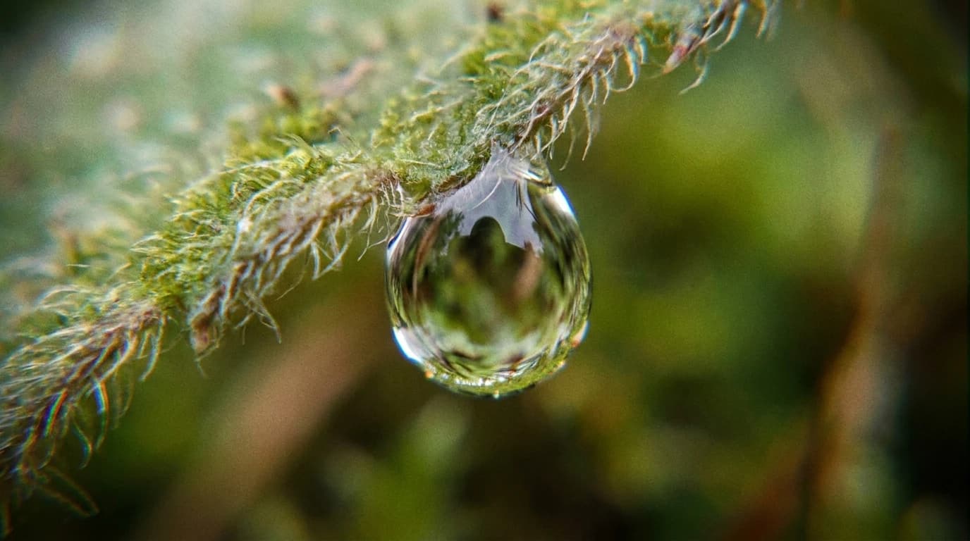
The Invisible Flood
Imagine trying to find the source of a massive water leak in a sprawling city. You know the streets are flooding, but you only have three water pressure gauges for the entire area. You cannot tell if the water is bursting from a broken city pipe or spilling over from a natural river. If you want to stop the flood, then you need to put sensors exactly where the pipes and rivers are. You must match your tools to the shape of the problem. A single broken pipe needs a specific pinpoint sensor. A wide, overflowing river needs a broad network of monitors along its banks.
This is exactly the problem scientists face today with global warming. Instead of water, the flood is an invisible gas. Tracking methane emissions is one of the biggest challenges in climate science. We know there is more methane in the air, but we do not always know exactly where it is coming from.
Why Methane Emissions Matter
Methane is a powerful gas that traps heat in our atmosphere. Human activities, like farming and fossil fuel use, release a lot of it. However, nature also releases methane from places like tropical wetlands and thawing Arctic soils. Right now, our tools to measure this gas are too spread out. They are especially sparse in remote areas where natural emissions might be rising due to climate change.
In a recent study, researchers analysed the data from 2014 to 2023. They found that our estimates for human-made methane are uncertain by about 32 percent. The numbers for natural sources are even less clear. Estimates for wetlands and inland waters carry uncertainties of over 70 percent. When trying to spot long-term trends, that uncertainty jumps to nearly 200 percent. If we cannot measure the gas accurately, then we cannot tell if our efforts to reduce it are working. We also cannot tell if warming temperatures are causing nature to release even more gas.
Building a Better Sensor Network
To fix this, the researchers suggest building a targeted global observation system. Think back to our flooded city. Instead of relying on just a few gauges, the new plan places the right tools in the right locations. Step one is dealing with point sources. These are concentrated leaks, like factories or oil wells. For these, we can use high-resolution satellites looking down from space to spot the exact source.
Step two deals with diffuse sources. These are wide, spread-out areas like swamps and wetlands. Satellites struggle here. Instead, we need sensors on the ground. The study suggests expanding networks of flux towers, which are tall structures that measure gas as it moves through the air. We also need detailed maps of wetland behaviour.
Finally, step three targets the blind spots. The researchers note that the tropics and the high-latitude Arctic are currently under-sampled. They calculate that adding just 20 specific atmospheric measuring instruments in key tropical regions could massively reduce our uncertainty. This would give scientists a much clearer picture at a modest cost.
If we build this targeted network, then we could finally separate human pollution from natural releases. This setup may provide an early warning system, showing us if natural environments are starting to release more gas as the planet warms. By placing our sensors smartly, we can finally trace the invisible flood back to its source.