Mapping Seagrass Ecosystems from Space to Organise Coastal Conservation
Source PublicationNature
Primary AuthorsPeng, Li, Krause et al.
Imagine a world where marine biologists track coastal health in real-time from their tablets, deploying robotic restoration teams to precise coordinates before a habitat collapses. This data-driven future is closer than you think.
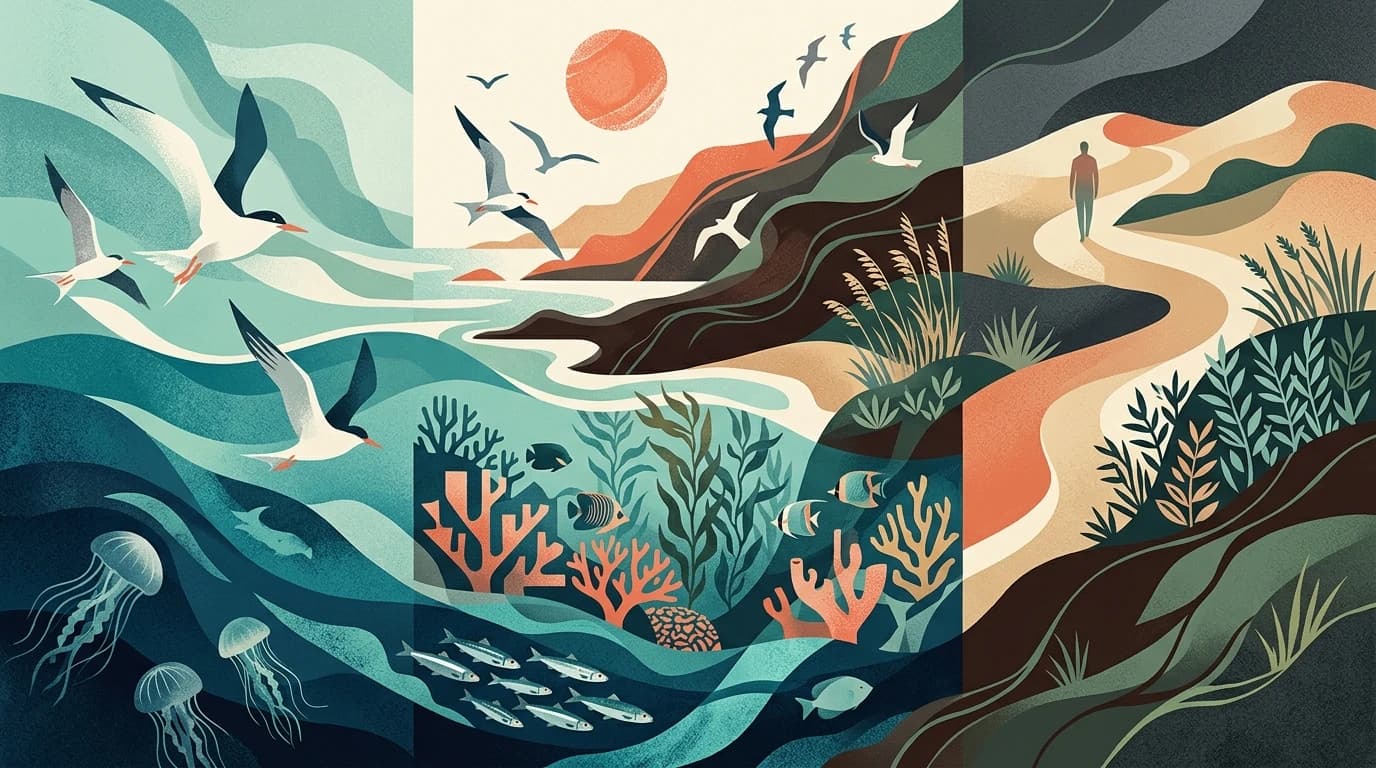
Seagrass ecosystems stabilise shorelines, support fisheries, and store carbon. Despite their value, these underwater meadows remain largely unmapped, leaving conservationists without clear targets.
Mapping Seagrass Ecosystems from Space
Researchers analysed 4.75 million Sentinel-2 satellite images using a deep-learning classifier to map global seagrass extent at a 10-metre resolution. They identified 148,506 square kilometres of seagrass, with 69 per cent concentrated in five nations: The Bahamas, Cuba, the USA, Australia, and Indonesia.
The study also revealed worrying trends over a four-year period:
- Only 21 per cent of mapped seagrass areas currently lie within marine-protected zones.
- Four per cent (5,969 square kilometres) of global seagrass was lost entirely.
- An additional 4.2 per cent degraded from dense to sparse cover in tropical regions.
This dataset suggests where conservationists should focus their efforts. By the time you graduate college, protecting oceans will not just involve SCUBA gear; it will require cloud computing and predictive AI. Studying coding and marine biology now will equip you to build the environmental monitoring systems of tomorrow.